.svg)
















Ports & Shipping
Project Overview
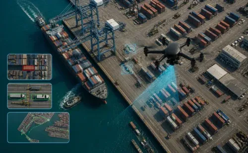
At Dazz Drones, we support port authorities, maritime operators, shipping companies, logistics providers, and infrastructure developers with advanced drone-based inspection, surveying, and monitoring solutions for modern maritime infrastructure and port operations.
Our drone technology enables high-resolution aerial inspections, coastal mapping, infrastructure monitoring, volumetric analysis, and real-time operational intelligence across ports, harbors, shipyards, cargo terminals, coastal infrastructure, warehouses, pipelines, and marine logistics facilities. Drone-powered workflows improve operational efficiency, reduce inspection risks, and enhance decision-making for large-scale maritime operations.
Key Challenges in Ports & Shipping Operations
- Time-consuming and operationally disruptive
- Expensive for large marine infrastructure projects
- Risky for personnel working in hazardous port environments
- Limited in accessing elevated, offshore, or confined structures
- Inefficient in providing real-time operational visibility
Drone-enabled aerial intelligence helps port operators and maritime stakeholders overcome these challenges with fast, safe, and data-driven solutions.
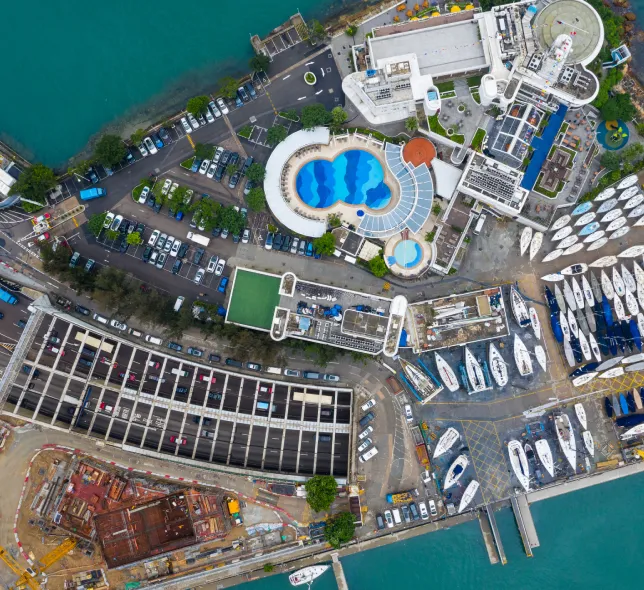
Port Infrastructure Survey & Mapping
We provide high-precision aerial surveys, orthomosaic mapping, and geospatial intelligence for ports, harbors, container terminals, coastal infrastructure, and maritime development projects. Our drone mapping solutions support planning, expansion, asset management, and infrastructure development.
Port Operations & Construction Monitoring
Using automated drone missions, we help stakeholders monitor port expansion projects, cargo terminal construction, dredging operations, and infrastructure development in real time. Regular aerial reporting improves project tracking, operational transparency, and construction efficiency.
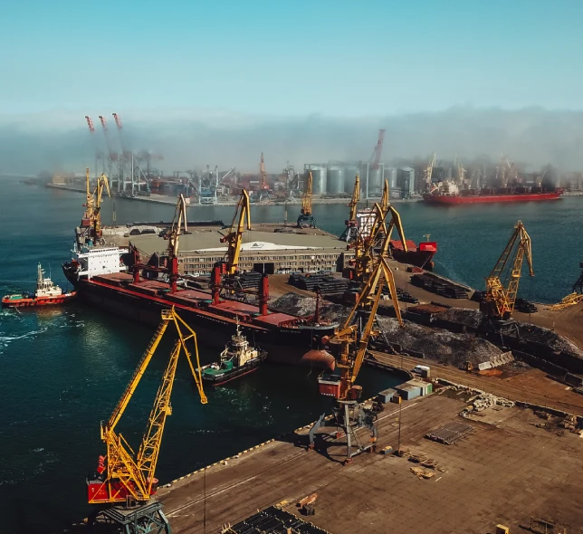
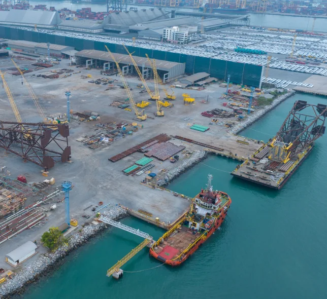
Shipyard & Marine Infrastructure Inspection
Our drone inspections assist in identifying structural defects, corrosion, equipment damage, safety risks, and maintenance requirements for shipyards, cranes, jetties, docks, warehouses, storage tanks, pipelines, and coastal infrastructure with minimal operational disruption.
Why Choose Dazz Drones for Railway & Metro Projects?

- Global network of certified drone pilots
- Rapid deployment for maritime and coastal projects
- High-resolution aerial mapping & inspection services
- Scalable drone operations for large port facilities
- AI-powered analytics and reporting solutions
- Safe inspections in hazardous or difficult-to-access areas
- Reliable support for port authorities, logistics operators, and maritime infrastructure developers
With expertise in enterprise drone operations and infrastructure intelligence, Dazz Drones delivers reliable aerial solutions that support the future of smart ports, shipping logistics, and sustainable maritime infrastructure.