To provide safe, reliable, and professional drone services, Dazz Drones collects only the information necessary to process your requests, manage bookings, communicate with you, and improve our services.
1.1 Personal Information
When you use our website or mobile application, submit a booking request, schedule a callback, contact our team, or request enterprise services, we may collect the following personal information:
Full Name
Email Address
Phone Number
Company Name (for enterprise clients)
Industry (for enterprise inquiries)
Project Address
City, State, Country, and Postal Code
Preferred Booking Date & Time
Project Requirements or Notes
Any additional information voluntarily provided by you
We only collect the information necessary to provide the requested services.
1.2 Booking Information
When you submit a drone shoot request, we collect information required to prepare your quotation and manage your booking, including:
Drone Shoot Category
Preferred Drone Package (Standard or Premium)
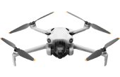
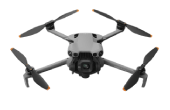
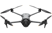
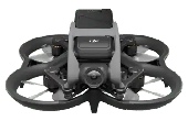
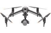
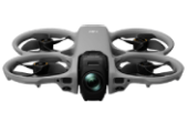
Selected DJI Drone
Preferred Shoot Duration
Preferred Date & Time
Project Location
Project Address
Booking Notes or Special Instructions
This information helps us review your project requirements and prepare an accurate quotation.
1.3 Enterprise Inquiry Information
If you submit an Enterprise Inquiry, we may collect:
Company Name
Industry
Contact Person's Name
Official Business Email
Phone Number
Project Location
Business Address
Project Requirements
This information enables us to prepare customized enterprise drone solutions and quotations.
1.4 Schedule Callback Information
If you request a callback, we collect:
Name
Phone Number
Preferred Callback Date
Preferred Callback Time
This information is used solely to contact you regarding your inquiry or requested services.
1.5 Contact Form Information
When you contact us through our Contact Form, we may collect:
Name
Email Address
Phone Number
Address
Message
We use this information to respond to your questions, provide support, and communicate regarding your inquiry.
1.6 Location Information
To provide accurate drone services, we may collect your project location through:
Address entered during booking
Location selected on our website
GPS or device location (only if permission is granted)
Location information helps us:
Verify drone service availability
Perform airspace assessments
Plan operational logistics
Prepare project quotations
Assign suitable drone pilots
Your location is never collected without your permission where required by your device or browser.
1.7 Device Information
When you visit our website or mobile application, certain technical information may be collected automatically, including:
Device Type
Operating System
Browser Type
IP Address
Language Preference
Session Information
Pages Visited
Referral Source
Website Usage Statistics
This information helps improve website functionality, security, and user experience.
1.8 Media & Project Files
Depending on your project, you may choose to upload or share:
Images
Videos
Maps
Reference Materials
Site Plans
Other project-related documents
These files are used only for reviewing your project and delivering the requested services.
1.9 Payment Information
Dazz Drones does not store your credit card numbers, debit card details, banking credentials, UPI PINs, or other sensitive payment information.
Where applicable, payments are processed through secure payment methods or agreed payment arrangements.
We may retain transaction references, invoices, and payment confirmations solely for accounting, legal, and customer support purposes.
1.10 Information You Voluntarily Provide
You may voluntarily provide additional information while communicating with us through:
Email
Phone
Contact Forms
Booking Forms
Enterprise Inquiry Forms
Schedule Callback Requests
Any information you choose to share will only be used to assist you and provide the requested services.