.svg)














Ports & Shipping
Port & Shipping Drone Inspection, Surveying & Monitoring Services
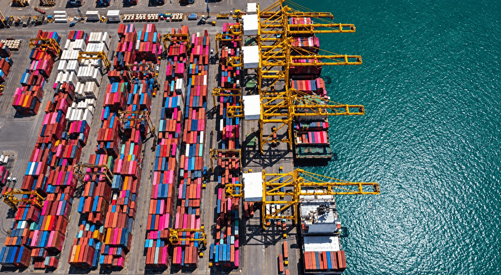
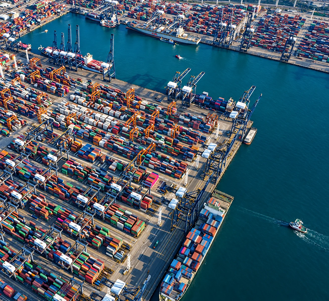
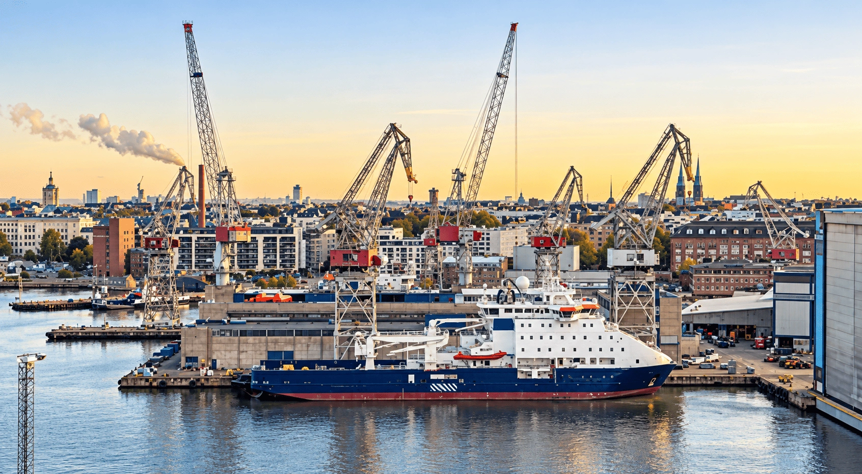
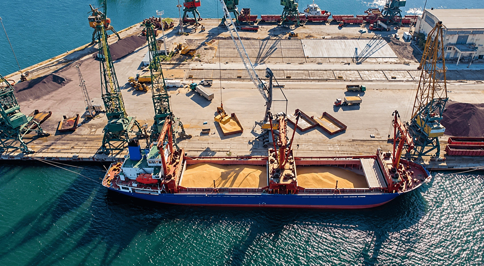
Dazz Drones provides professional drone inspection, aerial surveying, mapping and monitoring services for ports, shipping and maritime infrastructure worldwide. Our certified drone pilots capture high-resolution aerial data across ports, harbours, container terminals, shipyards, cargo facilities, coastal infrastructure and marine assets.
Using enterprise-grade drone technology, we help port authorities, shipping companies, logistics operators and maritime infrastructure developers improve asset visibility, monitor construction and operations, document projects, and inspect difficult-to-access areas with less disruption and risk.
Bring your port, shipping or maritime project to life with professional drone cinematography from Dazz Drones. Our network of expert drone pilots captures cinematic aerial footage safely, efficiently and with the precision your project demands. Whether you need compelling marketing content, operational documentation or a visual record of major works, booking is simple through the Dazz Drones app. Find and book experienced local drone pilots worldwide, giving you convenient access to professional aerial production wherever your project takes you.
Capture footage for:

Port and harbour promotional films
Ship launches and vessel arrivals
Container terminal operations
Construction and infrastructure progress
Shipyards and marine facilities
Coastal and waterfront developments
Corporate, social media and recruitment videos
With local pilot availability and streamlined booking, Dazz Drones makes professional aerial filming easier to arrange, wherever you operate.
Port Infrastructure Survey & Mapping
We provide high-precision aerial surveys, orthomosaic mapping, and geospatial intelligence for ports, harbors, container terminals, coastal infrastructure, and maritime development projects. Our drone mapping solutions support planning, expansion, asset management, and infrastructure development.
Port Operations & Construction Monitoring
Using automated drone missions, we help stakeholders monitor port expansion projects, cargo terminal construction, dredging operations, and infrastructure development in real time. Regular aerial reporting improves project tracking, operational transparency, and construction efficiency.
Shipyard & Marine Infrastructure Inspection
Our drone inspections assist in identifying structural defects, corrosion, equipment damage, safety risks, and maintenance requirements for shipyards, cranes, jetties, docks, warehouses, storage tanks, pipelines, and coastal infrastructure with minimal operational disruption.