.svg)










Highways & Road Projects
Project Overview
At Dazz Drones, we help highway authorities, infrastructure developers, EPC contractors, and smart city planners streamline road and highway development projects using advanced drone surveying, aerial inspection, and real-time monitoring solutions.
Our drone technology enables accurate aerial mapping, construction progress tracking, volumetric analysis, and infrastructure inspections across highways, expressways, bridges, flyovers, tunnels, interchanges, and large-scale road development projects. Drone-based infrastructure intelligence enhances project visibility, improves safety, reduces delays, and accelerates decision-making for modern transportation networks.
Key Challenges in Highway & Road Infrastructure Projects
- Time-consuming and resource-intensive
- Costly for long linear infrastructure projects
- Difficult in high-traffic or inaccessible areas
- Prone to delays in progress reporting
- Limited in providing real-time project visibility
Drone-powered surveying and monitoring help infrastructure teams overcome these operational challenges through fast, accurate, and data-driven workflows.
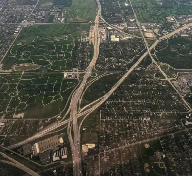
Highway Corridor Survey & Route Mapping
We provide high-resolution aerial surveys, orthomosaic mapping, and topographical data for highways, expressways, bypass roads, and road expansion projects. Our drone mapping solutions support route planning, land assessment, engineering design, and project execution with high spatial accuracy.
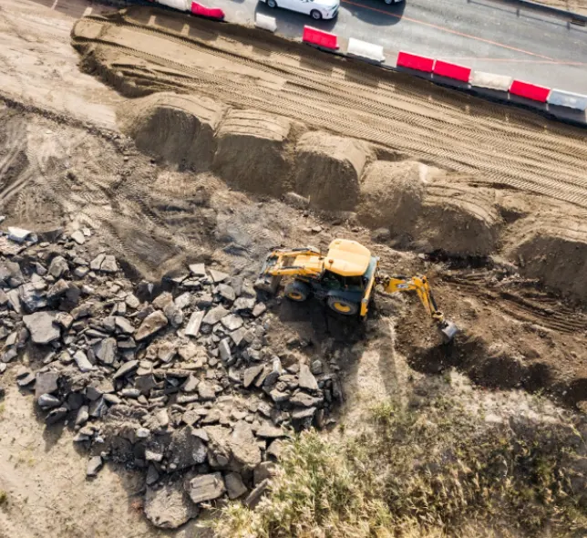
Road Construction Progress Monitoring
Using automated drone missions, we help project stakeholders monitor road construction activities in real time. Regular aerial progress reports improve project transparency, contractor coordination, milestone tracking, and decision-making efficiency.
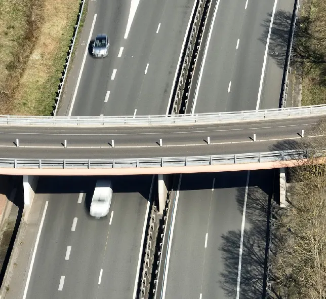
Bridge, Flyover & Road Infrastructure Inspection
Our drone inspections help identify structural defects, surface damage, alignment issues, drainage problems, and maintenance requirements for bridges, flyovers, retaining walls, culverts, and road infrastructure while minimizing operational disruptions.
Why Choose Dazz Drones for Railway & Metro Projects?

- Global network of certified drone pilots
- Rapid deployment for large infrastructure projects
- High-precision aerial mapping & GIS solutions
- Scalable drone operations for long road corridors
- AI-powered analytics and reporting systems
- Safe inspections in difficult or high-traffic areas
- Reliable support for government agencies, EPC contractors, and infrastructure developers
With expertise in enterprise drone operations and infrastructure intelligence, Dazz Drones delivers reliable aerial solutions that support modern highway, roadway, and transportation infrastructure projects worldwide.