.svg)











Railways & Metro Infrastructure
Project Overview
At Dazz Drones, we empower railway authorities, metro rail corporations, EPC contractors, and infrastructure developers with advanced drone-based inspection, surveying, and monitoring solutions designed for modern transportation infrastructure.
Our drone technology enables rapid aerial data acquisition, high-precision mapping, and real-time project monitoring across railway corridors, metro construction sites, bridges, tunnels, stations, viaducts, overhead electrification systems, and track infrastructure. Drone-based inspections significantly improve operational efficiency, reduce manual risks, and accelerate decision-making for large-scale rail and metro projects.
Key Challenges in Railway & Metro Infrastructure Projects
- Time-consuming and labor-intensive
- Costly for long-distance corridor monitoring
- Risky for personnel working near live tracks and OHE systems
- Inefficient in capturing real-time construction progress
- Limited in accessing elevated or hard-to-reach infrastructure
Drone-powered infrastructure intelligence helps eliminate these bottlenecks through fast, safe, and data-driven operations.
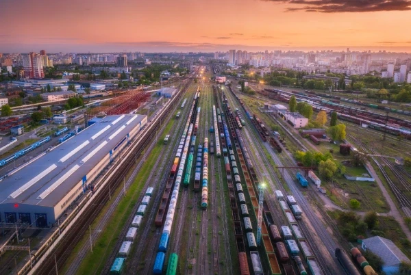
Railway Corridor Survey & Mapping
We deliver high-resolution aerial mapping and orthomosaic generation for railway corridors, metro routes, station developments, and track expansion projects. Our drone surveys provide accurate terrain data, elevation models, and geospatial intelligence for planning and execution.
Metro Construction Progress Monitoring
Using automated drone missions, we help project stakeholders monitor metro construction progress in real time. Weekly and monthly aerial reports improve transparency, project tracking, contractor accountability, and timeline management.

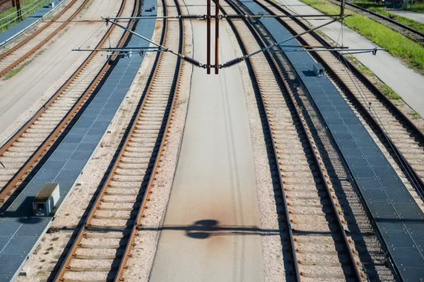
Track & Overhead Equipment Inspection
Our drone inspections assist in identifying structural defects, alignment issues, damaged components, and maintenance requirements for railway tracks, bridges, viaducts, and overhead electrification systems with minimal operational disruption.
Why Choose Dazz Drones for Railway & Metro Projects?
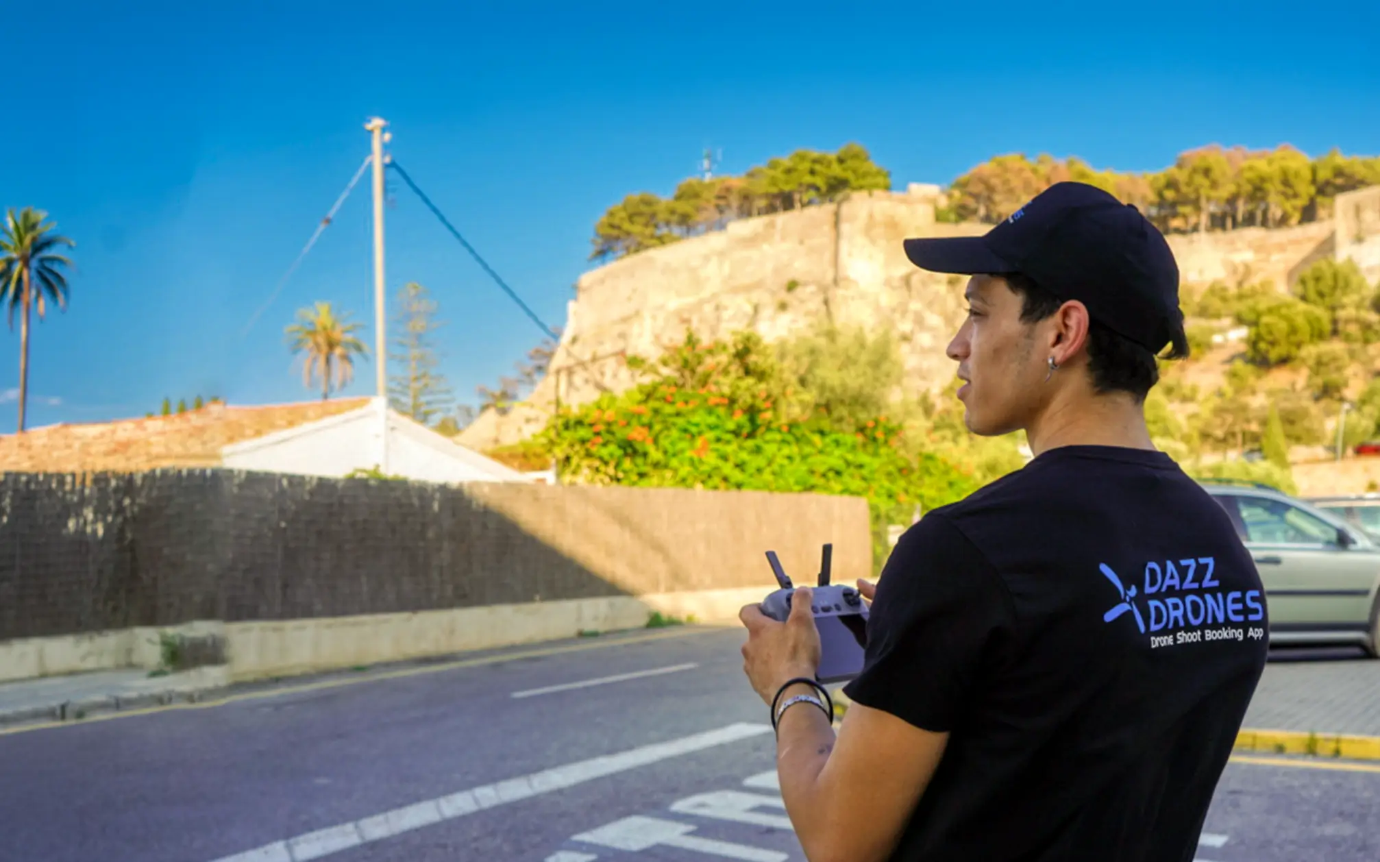
- Global network of certified drone pilots
- Fast deployment across infrastructure projects
- High-resolution aerial imaging & GIS outputs
- Scalable drone operations for long railway corridors
- Safe inspections in hazardous or inaccessible areas
- Reliable support for EPC contractors, government agencies, and infrastructure developers
With operations across multiple countries and expertise in enterprise drone services, Dazz Drones delivers reliable aerial intelligence solutions for the future of smart transportation infrastructure.